Current Projects
Accessible Oceans
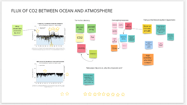
Accessible Oceans: Exploring Ocean Data Through Sound seeks to use authentic oceanography data to create an interactive data engagement experience for blind and visually impaired learners.
AI Literacy
Fostering AI Literacy through Embodiment and Creativity across Informal Learning Spaces is an NSF-funded research program to explore how we can advance AI literacy for people outside of computer science education.
Coal Pollution Impacts Explorer
The Coal Pollution Impacts Explorer: An online interface for exploring dispersion and impacts of Sulfur Oxides (SOx) from coal-fired electricity generating facilities.
The Dataseum
The Dataseum is a public space showcasing some of the data created by and for Georgia Tech research.
A Sanctuary In Sound
A Sanctuary in Sound: Increasing Accessibility to Gray’s Reef Data through Auditory Displays seeks to design accessible auditory displays that facilitate conversations about issues affecting Georgia’s coastal and marine ecosystems.
ContAQT
Contextualized Air Quality Timelines (ContAQT) is an air pollution data platform to visualize local AQI values over time and teach users about the multiple pollutants measured in air quality ratings
Current Crisis
A vertically integrated project developed at Georgia Tech Institute of Technology in collaboration with the Vertically Integrated Projects (VIP) group.
Past Projects
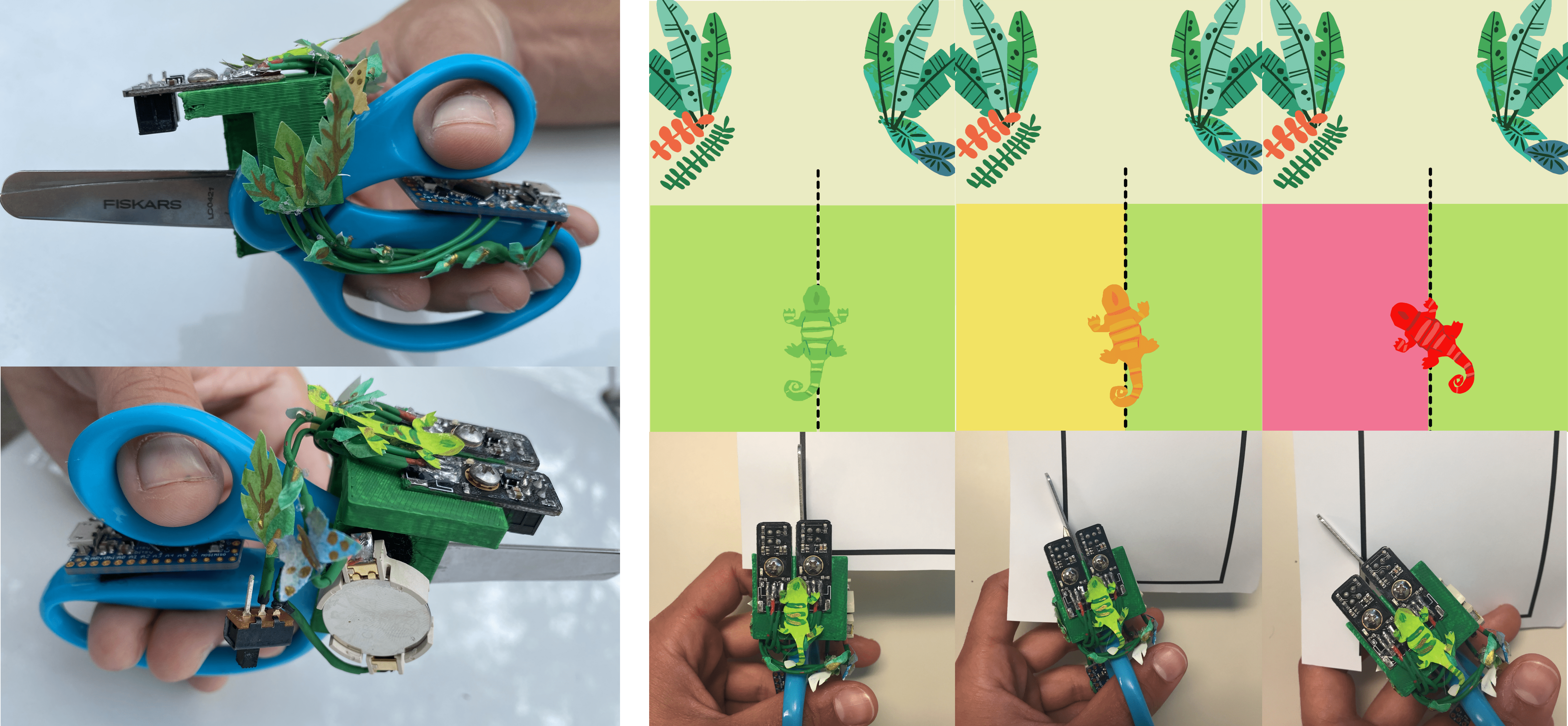
Developing Technology to Support Remote Art Education for K-2 Students
This project studies how the integration of instrumented tangible tools into virtual environments can support K-2 learners in remote settings
ExCAVATARS
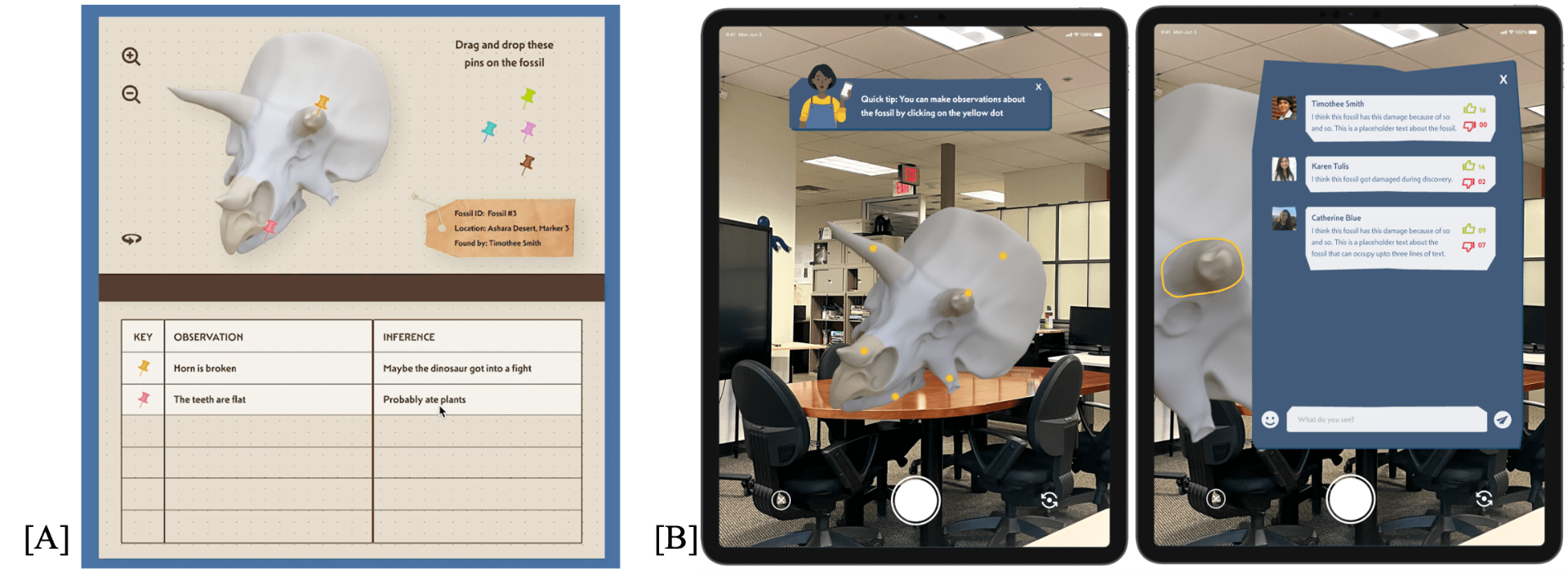
A mixed reality platform to help third grade students with literacy and science skills.
Tale Town
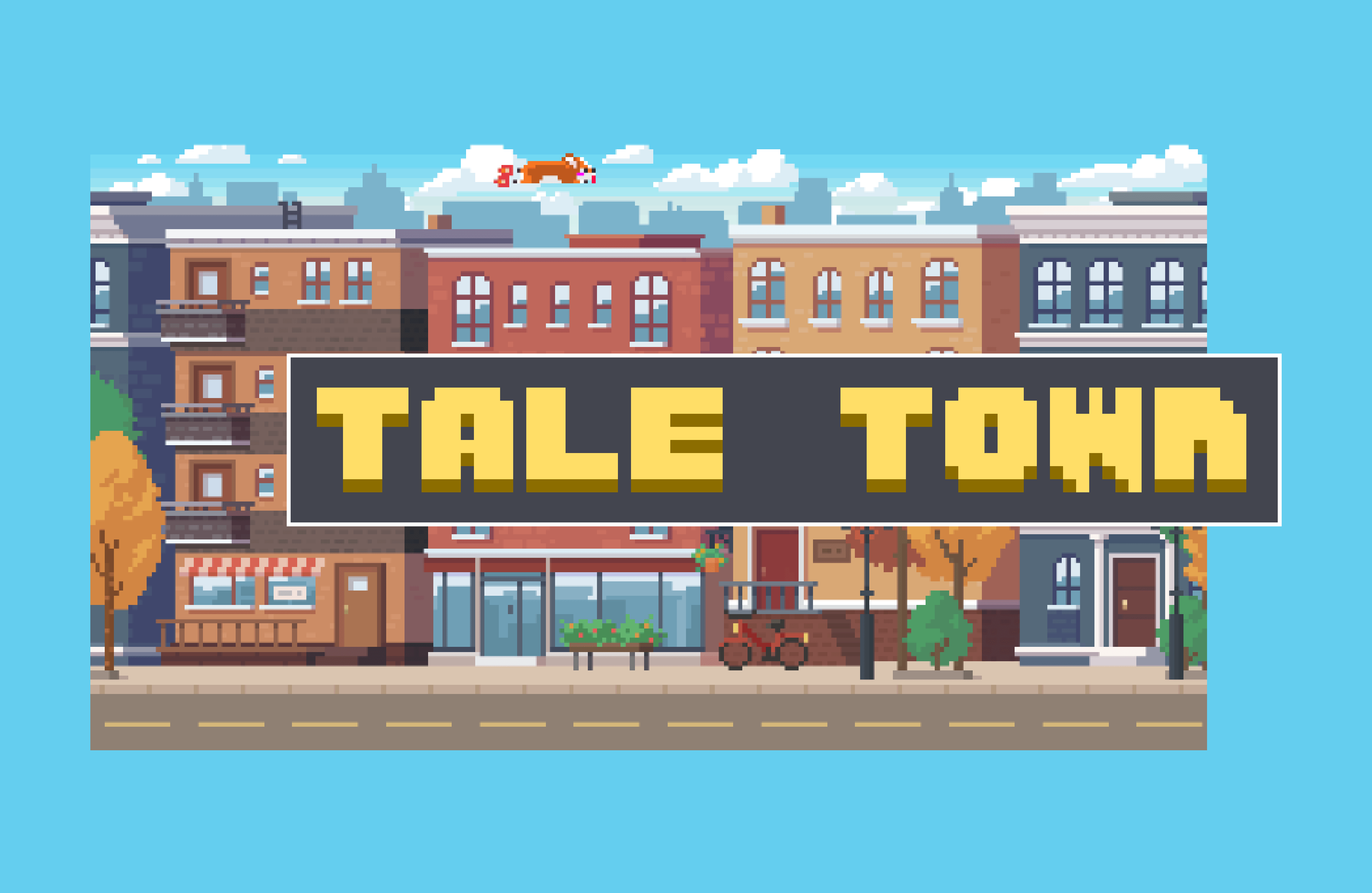
Tale Town is an online collaborative platform to support intermediate second language learners to practice speaking and listening through gamified social interactions.


